

GIS · iOS
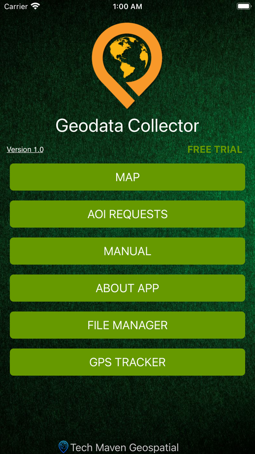
Geo Data Collector
Offline field data collection with a form designer built in
A professional field data collection app that works completely offline — no server, no feature service, no proprietary formats. Crews design forms in the app or on the web form builder, capture points, lines and polygons with photos, then export to GeoJSON or GeoPackage.
01Capabilities
What Geo Data Collector does
Flexible form designer and ad-hoc in-app form building (forms are shareable JSON)
Point, line and polygon capture with point averaging and point offset
Fully offline — all data stored on the device, no backend required
Review, edit and delete records; jump to any record on the map
Photos from camera or gallery attached to records
Attribute table with search for collected and user-loaded data
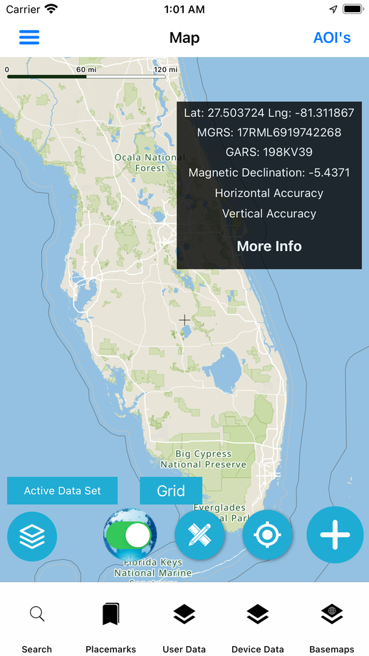
Vector-tile basemap with 11 styles incl. terrain/topo, 3D buildings, hybrid
Optional offline map data for the user's area of interest
02Data & services
Formats and services supported
Output
- GeoJSON
- GeoPackage vector features
User-loaded data
- GPKG vector & raster tiles
- GeoJSON with styling
- MBTiles raster & vector
Basemaps
- OpenStreetMap vector tiles (8+ styles)
- Contour lines
- Hillshade
- Satellite imagery
- Esri raster basemaps
- GADM boundaries
03Screens
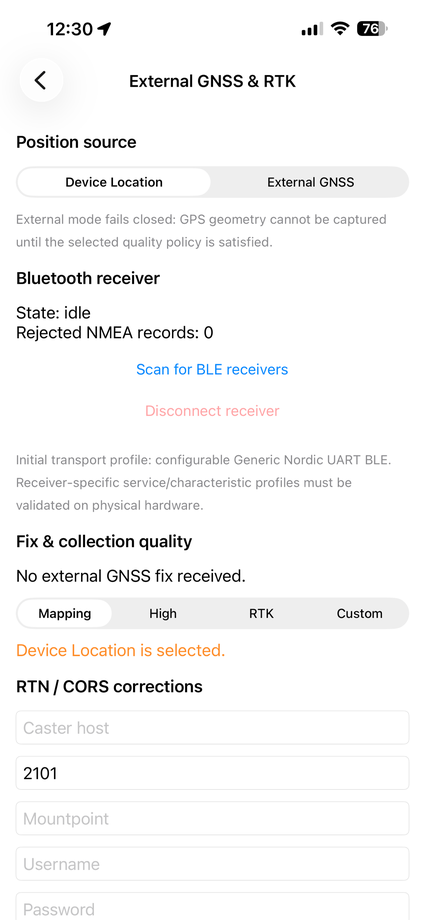
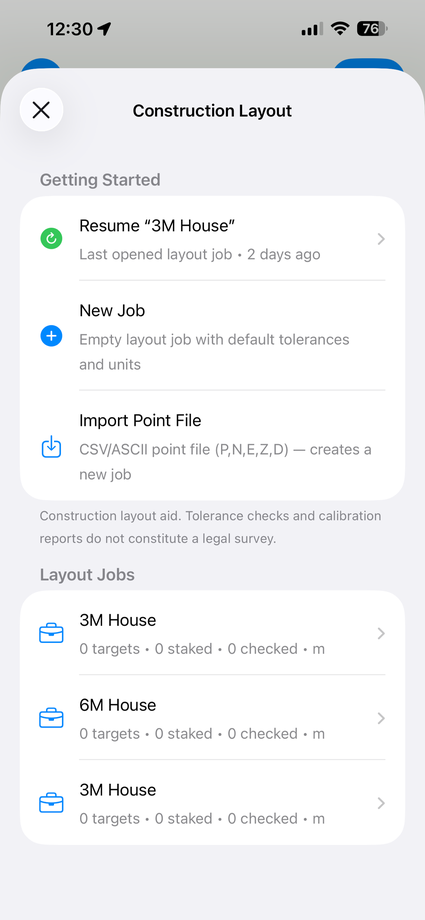
Geo Data Collector in hand



Start a project
Have a project in mind? Let's build it.
Share your requirement and get an obligation-free consultation, a technology recommendation, and a quote within 48 business hours.