
GIS · Web
Built for the Zambia Information and Communications Technology Authority (ZICTA)
Postcodes of Zambia
A unique digital address for every location in Zambia
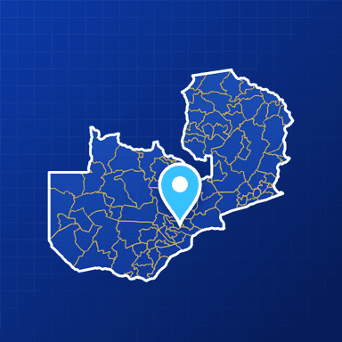
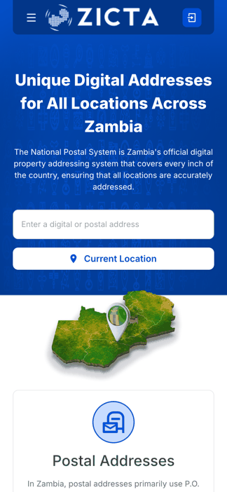
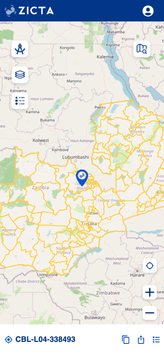
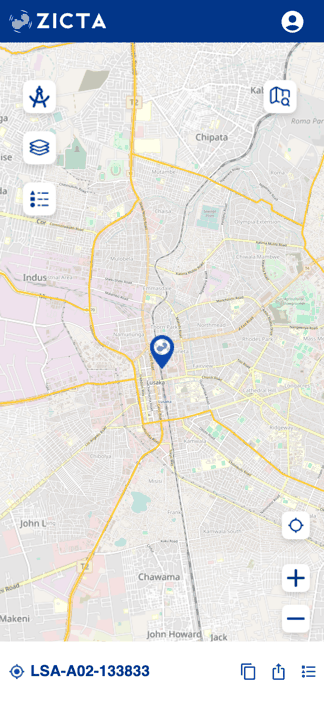
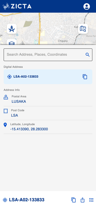
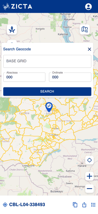
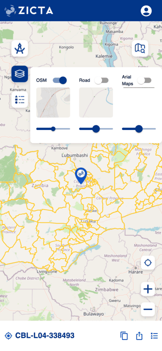
The national digital addressing system for Zambia, built for ZICTA. Any point in the country resolves to a unique address — postal-area code, sub-area grid cell and a six-digit grid reference good to roughly 11 metres — that anyone can look up, copy and share from a public web map. PostGIS holds the postal areas, sub-areas and addresses, GeoServer publishes them as WMS/WFS layers, and an admin dashboard manages users and data.
01Capabilities
What Postcodes of Zambia does
02Architecture
The stack behind the national map
Web application
- Next.js 14 (React)
- Node.js
- OpenLayers map viewer
- Landing page
- Admin dashboard
- Authentication & user management
Spatial data & services
- PostgreSQL 17 + PostGIS
- GeoServer 2.24
- WMS / WFS layers and styles
- Postal areas, sub-areas & addresses
- OpenStreetMap, road & aerial basemaps
Infrastructure & delivery
- Docker & Docker Compose
- GitHub Actions → Docker Hub
- Caddy reverse proxy with automatic TLS
03Screens
Postcodes of Zambia in hand



Start a project
Have a project in mind? Let's build it.
Share your requirement and get an obligation-free consultation, a technology recommendation, and a quote within 48 business hours.