

GIS · iOS
Map Data Explorer
Advanced vector-tile mapping with drawing, forms and military symbology
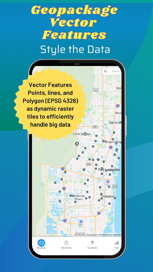
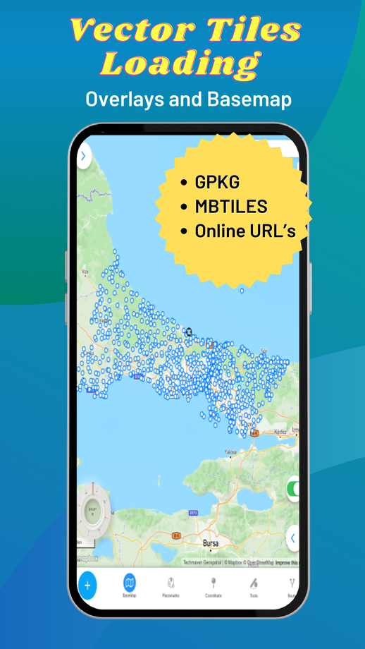
A full-featured mapping app powered by vector-tile basemaps with configurable stylesheets. Load your own GeoJSON, MBTiles and GeoPackage data, build a catalog of online services, digitise and edit features, and plan routes — with 3D terrain and buildings when the map is tilted.
01Capabilities
What Map Data Explorer does
Places and address search; go-to lat/long
Dynamic data collection forms with a form builder
Draw/digitise features, edit attributes and export GeoJSON
Measure length and area; radius ruler and range rings
Coordinate widget (lat/long, MGRS, zoom) and location sharing
Placemarks with GeoJSON/KML/GPX import and export
Basic route planning and hand-off to navigation apps
Background GPS track recorder with export
Spot elevation and 3D terrain/buildings on supported basemaps
Military symbology (APP-6 / MIL-STD-2525C) via a shareable GeoJSON schema
02Data & services
Formats and services supported
Local data
- GeoJSON
- MBTiles raster & vector tiles
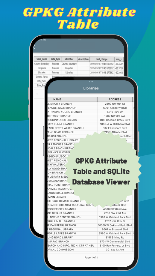
- GeoPackage raster tiles
Online catalog
- XYZ PNG/JPG raster tiles
- PBF vector tiles
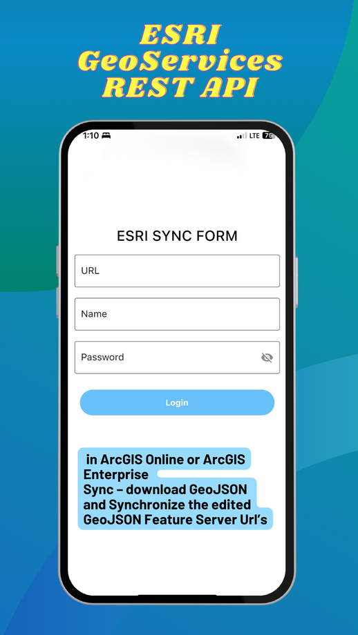
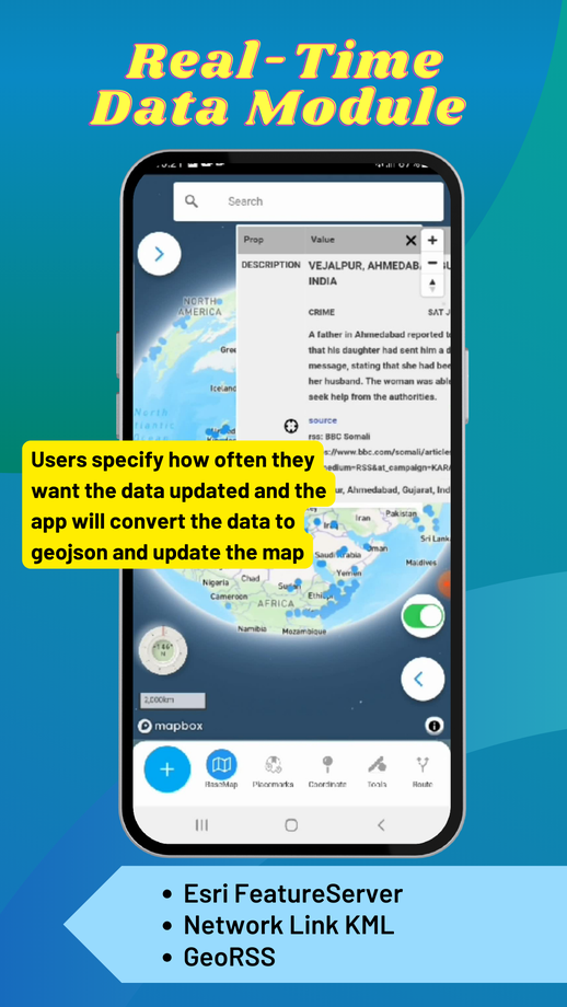
- GeoJSON URLs
Overlays
- Reference grids
- Time zones
- US state boundaries
03Screens
Map Data Explorer in hand



Start a project
Have a project in mind? Let's build it.
Share your requirement and get an obligation-free consultation, a technology recommendation, and a quote within 48 business hours.