

GIS · iOS
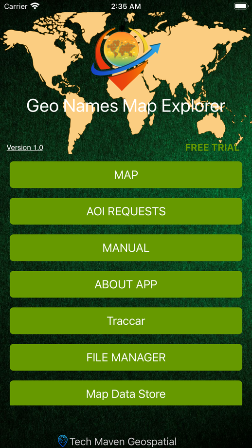
GeoNames Map Explorer
NGA foreign and USGS domestic place names, searchable on a vector-tile map
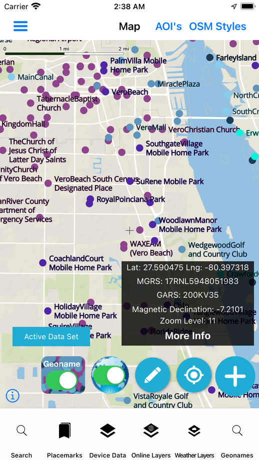
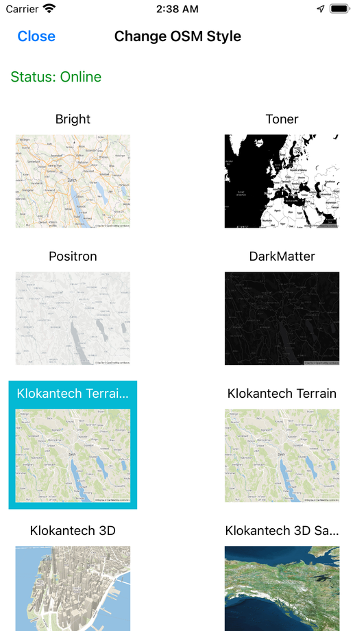
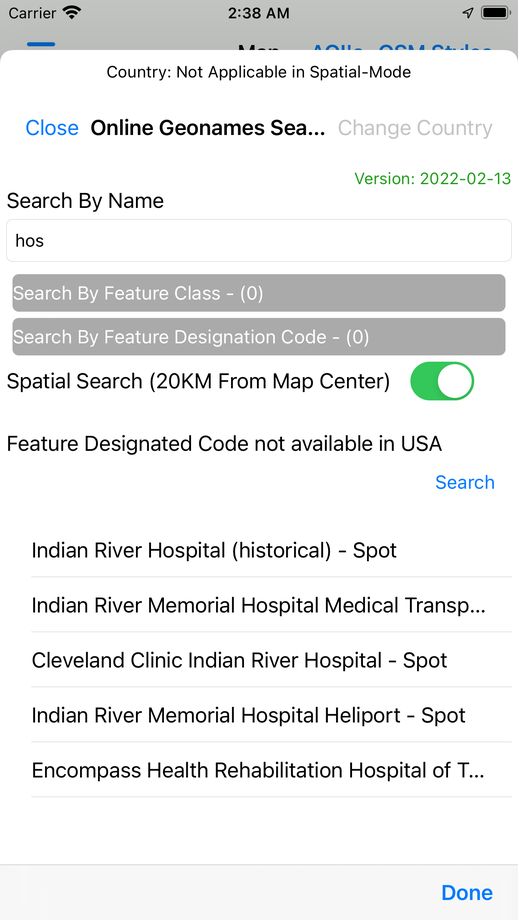
Originally available only to US Government personnel through NGA's GEOINT App Store, now public. GeoNames data across nine feature classes is displayed on an OpenStreetMap vector-tile basemap with advanced and spatial search, audio playback and offline downloads for user-defined areas of interest.
01Capabilities
What GeoNames Map Explorer does
Works immediately online; offline data for custom areas of interest
Nine GeoNames feature classes with per-class visibility and zoom scaling
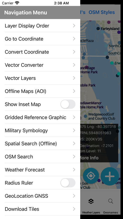
Advanced and spatial search across NGA foreign and USGS domestic names
Coordinate display (lat/long, MGRS, GARS) and scale bar
Measure area and length; location tracking; spatial bookmarks
Vector-tile overlays: MGRS grid, GARS grid, time zones, international boundaries
Mapbox and OSM search
02Data & services
Formats and services supported
User-loaded data
- GeoJSON
- GPX
- KML
- MBTiles raster & vector
- GeoPackage raster tiles (3857) & vector features
- Attribute grid for GPKG/GeoJSON
Connected services
- TAK Server: position, chat, markers, emergency
- Meshtastic
- Traccar
- Real-time feeds: aircraft, vessels, transit, sensors, drones
- GeoJSON, KML and Esri stream feeds
Positioning & fieldwork
- GPX track recording
- Bluetooth GNSS receivers
- NTRIP/CORS corrections for RTK
- Forms with geometry, attributes, notes and photos
- Survey sessions with accuracy and GNSS provenance
03Screens
GeoNames Map Explorer in hand


Start a project
Have a project in mind? Let's build it.
Share your requirement and get an obligation-free consultation, a technology recommendation, and a quote within 48 business hours.