

GIS · iOS
Map Discovery
Load, edit and analyse GIS data from files and OGC/Esri services
Map Discovery opens the formats field teams actually carry — MBTiles, GeoPackage, zipped Shapefiles, KML, GPX, CSV, GeoJSON — and connects to basemaps and OGC or Esri services through a JSON data catalog. Create and edit features, including transactional WFS-T editing against GeoServer, QGIS Server or MapServer.
01Capabilities
What Map Discovery does
Data catalog (JSON) for Esri MapServer/ImageServer/FeatureServer, OGC WMS/WMTS/WFS, XYZ/TMS
Digitise and edit vector features; define any GeoJSON properties
OGC WFS-T transactional editing
Attribute grid with search; measure distance and area; map swipe; elevation
OSM Nominatim place search and address geocoding
Configurable units, coordinate display (lat/long, MGRS, GARS) and scale bar
Connects to the companion Tile Server for iOS app
02Data & services
Formats and services supported
File formats
- MBTiles
- GeoPackage
- Shapefile (zip)
- KML
- GPX
- CSV
- GeoJSON
Online services (data catalog)
- Esri MapServer
- Esri ImageServer
- Esri FeatureServer
- OGC WMS
- OGC WMTS
- XYZ / TMS tiles
- OGC WFS
- WFS-T editing (GeoServer, QGIS Server, MapServer)
Basemaps & search
- OpenStreetMap vector tiles with stylesheets
- Raster basemaps from several providers
- OSM Nominatim place search
- Address geocoding
03Screens
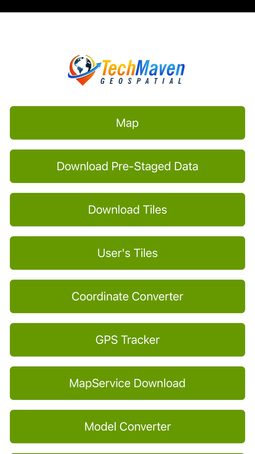
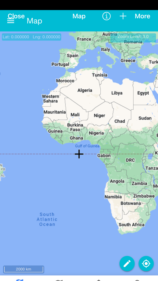
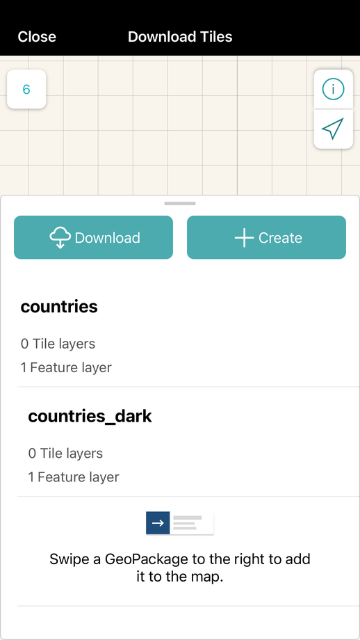
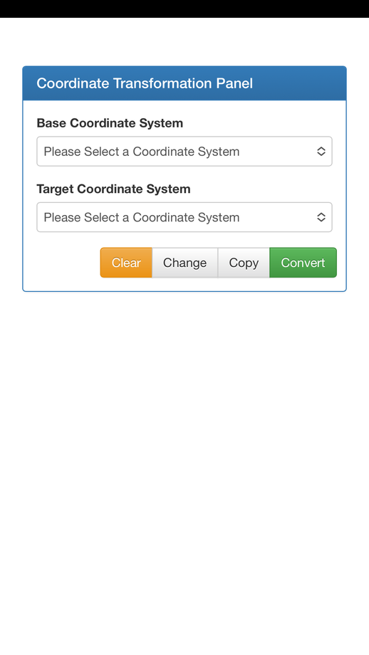
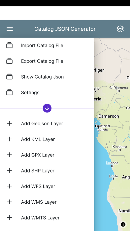
Map Discovery in hand



Start a project
Have a project in mind? Let's build it.
Share your requirement and get an obligation-free consultation, a technology recommendation, and a quote within 48 business hours.