

GIS · iOS
Print Map
High-quality georeferenced PNG and PDF maps from a phone
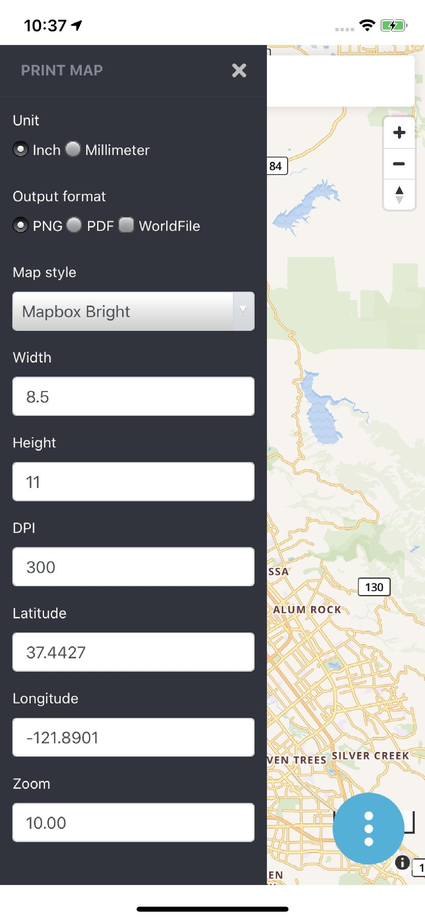
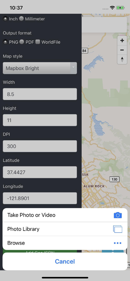
Print Map prepares offline, print-ready maps from custom vector-tile basemaps and satellite imagery. Choose a style, page size and DPI, and export PNG or PDF — optionally georeferenced with world-file and projection sidecars that every GIS package recognises.
01Capabilities
What Print Map does
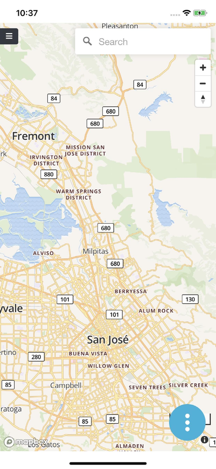
Set the initial view by search or lat/long
PNG or PDF output at configurable page size and DPI
Mapbox or OpenMapTiles/OSM street styles and satellite imagery
Topo and 3D-building styles, hillshade and contour lines
Georeferenced export with PGW world file and PRJ projection sidecars
Images drop straight into reports and documents
02Data & services
Formats and services supported
Output
- PNG
- PGW world file (optional)
- PRJ projection file (optional)
Basemaps
- OpenMapTiles / OSM vector tiles
- Mapbox styles
- Satellite imagery
Styles & page
- Topo
- 3D buildings
- Hillshade
- Contour lines
- Custom page size
- Configurable DPI
03Screens
Print Map in hand



Start a project
Have a project in mind? Let's build it.
Share your requirement and get an obligation-free consultation, a technology recommendation, and a quote within 48 business hours.