• connect@livebirdtechnologies.com
+1 (302) 725-4272
LiveBird TechnologiesLiveBird Technologies
  • About
  • GIS Development
    • GIS Development Services
      • Mobile Mapping & Situational Apps
      • Windows Mapping & Situational Awareness Apps
      • Browser based GIS Web Mapping Apps
      • GIS Portable Server Development
      • TAK Server Integration & TAK Solutions
      • GIS NoCode Apps and Reports
      • GIS Dashboards with Map Widgets
      • Geospatial Content Management & Data Serving
      • Indoor Mapping
      • COP – Common Operating Picture Map Dashboard Solution
      • Capital Improvement Project Tracking & Mapping & Dashboards
    • ESRI/ArcGIS -QGIS – Mapbox
      • ESRI Runtime SDK based native apps
      • ESRI Maps SDK for Javascript Web Mapping Apps
      • No Code App Builder for ESRI Geoservices REST API (featureserver)
      • ArcGIS Custom Solutions
      • QGIS Custom Solutions
      • Mapbox GL JS Implementation
      • Mapbox Windows Desktop Apps
      • Mapbox Studio Development – Services, API, Data, Cloud
    • Ready GIS Solution Products
      • Incident Mapper
      • TeamConnect Maps
      • Wildland Fire Mapper
      • Boarder Petrolling Solution for Govt
      • Real Estate & Asset Mapper – Turnkey
      • Geonames Map Explorer
      • Marine Explorer
      • Map Data Explorer
    • 2D/3D/4D Mapping Solutions
      • 3D Scene Server Development
      • 3D Tiles/3D Models/ 3D Geospatial Data
      • 2D Mapping Solutions
      • 4D Mapping Solutions
    • GIS Database & Data Analysis
      • PostgreSQL / POSTGis programming
      • GeoJSON/XML/JSON API Development
      • AWS / Azure / Google Cloud / GIS Cloud
      • Spatial Data Analysis, Reports
      • Data Visualization
      • Various GIS Data for sale – Worldwide
    • GIS with iOT – AI/ML – AR/VR/XR/MR
      • Real-time Data and iOT Data Integration
      • GIS Data Science ML/AI/Deep Learning
      • AR/VR/XR/MR Geospatial Solutions
      • GIS Data Automation & AI Chatbots
  • Our Services
    • Mobile Apps
      • iOS Native Apps
      • Android Native Apps
      • Cross Platform
      • Wearable Apps
      • Cloud Driven Apps
      • Hybrid Apps
      • E-Commerce Apps
    • Web Development
      • CMS
      • API and Backend
      • Custom Development
    • Desktop Apps
      • Industry Based Apps
      • Service Sector Apps
      • ERP Integrated Apps
    • Quality Assurance
      • Manual QA Testing
      • Mobile App Testing
      • Web App Testing
      • Performance Testing
      • API Testing
    • Design
      • UI/UX Designs
      • Wireframe
      • Logo Designing
  • Technology
    • Mobile
      • iOS
      • Android
      • React Native
      • Flutter
      • Ionic
    • Web
      • Node.js
      • Next.js
      • React.js
      • Nest.js
      • PHP Laravel
    • Desktop
      • Electron App
      • Flutter Desktop App
  • Our Work
 
Contact Us
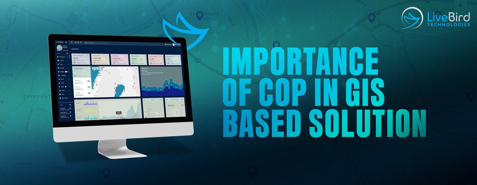
Importance of COP in gis based solution

Share this post

Facebook Twitter LinkedIn Email
livebird2024-09-20T15:20:54+05:30
livebird Technology Comments Off on Importance of COP (Common Operating Picture) in GIS Solutions

Importance of COP (Common Operating Picture) in GIS Solutions

In Geographic Information Systems (GIS)-based solutions, COP (Common Operational Picture) plays a crucial role in enhancing decision-making, collaboration, and communication. Here’s why COP is important in a GIS-based context:

1. Enhanced Situational Awareness:

  • COP provides real-time, integrated views of data, allowing users to have a comprehensive understanding of the operational environment. This is vital for emergency response, urban planning, environmental monitoring, and other GIS applications.

2. Collaboration and Coordination:

  • By using COP, multiple stakeholders—such as government agencies, private sectors, and NGOs—can share a common view of the situation. This improves coordination, reduces misunderstandings, and ensures that everyone is working with the same up-to-date information.

3. Efficient Resource Management:

  • A COP allows decision-makers to see the current status and distribution of resources spatially. This can be critical for allocating resources efficiently in scenarios like disaster management, where time-sensitive decisions are required.

4. Real-Time Data Integration:

  • COP enables the integration of various layers of GIS data, including satellite imagery, sensor feeds, and social media data. This real-time integration helps users to visualize evolving conditions, identify trends, and make data-driven decisions.

5. Improved Decision-Making:

  • With a unified operational picture, GIS-based solutions can offer predictive analytics, simulations, and scenario-based planning. This helps decision-makers to evaluate possible outcomes and choose the best course of action based on accurate spatial data.

6. Crisis Management and Emergency Response:

  • During disasters (such as floods, earthquakes, or pandemics), a COP allows teams to monitor affected areas, track rescue operations, and coordinate responses in real-time using GIS data. It also helps to identify safe routes, shelters, and high-risk zones.

7. Data Sharing Across Platforms:

  • COPs facilitate data sharing across different platforms and organizations. This interoperability ensures that different GIS tools and stakeholders have access to consistent and updated geographic information for their operations.

8. Historical Data Analysis:

  • In addition to real-time data, COPs in GIS can incorporate historical data, allowing users to analyze past events and understand trends or patterns. This is particularly useful in disaster preparedness and planning.

9. Scalability:

  • COP solutions in GIS are often scalable, meaning they can be used for small, localized operations (e.g., municipal planning) or large, global operations (e.g., international disaster relief).

10. Informed Public Engagement:

  • GIS-based COPs can also be used to inform and engage the public by sharing maps, updates, and visualizations, fostering transparency and collaboration with communities.

Overall, the integration of COP in GIS-based solutions enables a holistic view of spatial data, fosters collaboration, and supports timely, informed decision-making across a wide range of industries and applications.

At Livebird Technologies Pvt. Ltd. we provide robust COP and Dashboard-based custom GIS solutions at the most affordable and economical rates which start just from 20 USD/Hour for GIS Development.


Related Posts

01NovNovember 1, 2023

Growth of Mobile App Development After ChatGPT

Growth of Mobile App Development After ChatGPTThe mobile app development industry has... read more

29JulJuly 29, 2023

Does AI increase the productivity/creativity of humans or decrease it?

Does AI increase the productivity/creativity of humans or decrease it?As we all... read more

16AugAugust 16, 2023

The Impact of Artificial Intelligence (AI) in Healthcare IT

The Impact of Artificial Intelligence (AI) in Healthcare ITNowadays, Artificial Intelligence (AI)... read more

19AugAugust 19, 2023

Translate & Transcribe Handwritten Documents – Chat GPT iPhone App

Effortlessly Transcribe and Translate Handwritten Documents or Record Ideas Using Audio Recording... read more

Categories

  • Technology

Latest Posts

Importance of COP (Common Operating Picture) in GIS Solutions September 20, 2024
Growth of Mobile App Development After ChatGPT November 1, 2023
Translate & Transcribe Handwritten Documents – Chat GPT iPhone App August 19, 2023
The Impact of Artificial Intelligence (AI) in Healthcare IT August 16, 2023
Does AI increase the productivity/creativity of humans or decrease it? July 29, 2023

Get in Touch

COMPANY

  • About Us
  • Our Work
  • Contact Us
  • Blog
  • Careers
  • Information Security Policy
  • Site Map

Services

  • Hire Dedicated Developer
  • Mobile App Development
  • Web Development
  • Desktop Apps
  • GIS Development
  • Quality Assurance (QA)
  • Design

Technology

  • iOS Native App Development
  • Android Native App Development
  • React Native App Development
  • Flutter App Development
  • Ionic App Development
  • Node.js Development
  • React.js Development
  • Next.js Development
  • Nest.js Development
  • PHP Laravel Development
  • Electron App Development
  • Flutter Desktop App Development

GET IN TOUCH

  • LiveBird Technologies Pvt. Ltd. 1217-18, Satyamev Eminence, Science City Rd, Ahmedabad, India
  • LiveBird Technologies, Inc. 8 The Green Ste A, Dover, Delaware, 19901, United States
  • LiveTech Geospatial, LLC. 1856 N Nob Hill Rd, Plantation, Florida, 33322-6548, United States
  • Email: connect@livebirdtechnologies.com
skype  Anand_1714

Follow Us

Facebook Twitter Skype Linkedin

Proudly Owned Product Division

LiveBird Apps

GIS Development Services

  • TAK Server Solutions
  • Mobile Mapping & Situational Apps
  • Windows Mapping & Situational Awareness Apps
  • Browser based GIS Web Mapping Apps
  • GIS Portable Server Development
  • TAK Server Integration & TAK Solutions
  • GIS NoCode Apps and Reports
  • GIS Dashboards with Map Widgets
  • Geospatial Content Management & Data Serving
  • Indoor Mapping
  • COP – Common Operating Picture Map Dashboard Solution
  • Capital Improvement Project Tracking & Mapping & Dashboards

ESRI/ArcGIS -QGIS - Mapbox

  • ESRI Runtime SDK based native apps
  • ESRI Maps SDK for Javascript Web Mapping Apps
  • No Code App Builder for ESRI Geoservices REST API (featureserver)
  • ArcGIS Custom Solutions
  • QGIS Custom Solutions
  • Mapbox GL JS Implementation
  • Mapbox Windows Desktop Apps
  • Mapbox Studio Development – Services, API, Data, Cloud

Ready GIS Solution Products

  • Incident Mapper
  • TeamConnect Maps
  • Wildland Fire Mapper
  • Boarder Petrolling Solution for Govt
  • Boarder Petrolling Solution for Govt
  • Real Estate & Asset Mapper – Turnkey
  • Geonames Map Explorer
  • Marine Explorer
  • Map Data Explorer

2D/3D/4D Mapping Solutions

  • 3D Scene Server Development
  • 3D Tiles/3D Models/ 3D Geospatial Data
  • 2D Mapping Solutions
  • 4D Mapping Solutions

GIS with iOT - AI/ML - AR/VR/XR/MR

  • Real-time Data and iOT Data Integration
  • GIS Data Science ML/AI/Deep Learning
  • GIS with iOT – AI/ML – AR/VR/XR/MR
  • AR/VR/XR/MR Geospatial Solutions
  • GIS Data Automation & AI Chatbots

GIS Database & Data Analysis

  • PostgreSQL / POSTGis programming
  • GeoJSON/XML/JSON API Development
  • AWS / Azure / Google Cloud / GIS Cloud
  • Spatial Data Analysis, Reports
  • Data Visualization
  • Various GIS Data for sale – Worldwide
LiveBird Technologies© Copyright 2024. All Rights Reserved.
  • Menu
  • Connect
  • About
  • GIS Development
    • GIS Development Services
      • Mobile Mapping & Situational Apps
      • Windows Mapping & Situational Awareness Apps
      • Browser based GIS Web Mapping Apps
      • GIS Portable Server Development
      • TAK Server Integration & TAK Solutions
      • GIS NoCode Apps and Reports
      • GIS Dashboards with Map Widgets
      • Geospatial Content Management & Data Serving
      • Indoor Mapping
      • COP – Common Operating Picture Map Dashboard Solution
      • Capital Improvement Project Tracking & Mapping & Dashboards
    • ESRI/ArcGIS -QGIS – Mapbox
      • ESRI Runtime SDK based native apps
      • ESRI Maps SDK for Javascript Web Mapping Apps
      • No Code App Builder for ESRI Geoservices REST API (featureserver)
      • ArcGIS Custom Solutions
      • QGIS Custom Solutions
      • Mapbox GL JS Implementation
      • Mapbox Windows Desktop Apps
      • Mapbox Studio Development – Services, API, Data, Cloud
    • Ready GIS Solution Products
      • Incident Mapper
      • TeamConnect Maps
      • Wildland Fire Mapper
      • Boarder Petrolling Solution for Govt
      • Real Estate & Asset Mapper – Turnkey
      • Geonames Map Explorer
      • Marine Explorer
      • Map Data Explorer
    • 2D/3D/4D Mapping Solutions
      • 3D Scene Server Development
      • 3D Tiles/3D Models/ 3D Geospatial Data
      • 2D Mapping Solutions
      • 4D Mapping Solutions
    • GIS Database & Data Analysis
      • PostgreSQL / POSTGis programming
      • GeoJSON/XML/JSON API Development
      • AWS / Azure / Google Cloud / GIS Cloud
      • Spatial Data Analysis, Reports
      • Data Visualization
      • Various GIS Data for sale – Worldwide
    • GIS with iOT – AI/ML – AR/VR/XR/MR
      • Real-time Data and iOT Data Integration
      • GIS Data Science ML/AI/Deep Learning
      • AR/VR/XR/MR Geospatial Solutions
      • GIS Data Automation & AI Chatbots
  • Our Services
    • Mobile Apps
      • iOS Native Apps
      • Android Native Apps
      • Cross Platform
      • Wearable Apps
      • Cloud Driven Apps
      • Hybrid Apps
      • E-Commerce Apps
    • Web Development
      • CMS
      • API and Backend
      • Custom Development
    • Desktop Apps
      • Industry Based Apps
      • Service Sector Apps
      • ERP Integrated Apps
    • Quality Assurance
      • Manual QA Testing
      • Mobile App Testing
      • Web App Testing
      • Performance Testing
      • API Testing
    • Design
      • UI/UX Designs
      • Wireframe
      • Logo Designing
  • Technology
    • Mobile
      • iOS
      • Android
      • React Native
      • Flutter
      • Ionic
    • Web
      • Node.js
      • Next.js
      • React.js
      • Nest.js
      • PHP Laravel
    • Desktop
      • Electron App
      • Flutter Desktop App
  • Our Work